Pavement Condition Survey
Iris Pavement Condition Survey can help municipalities evaluate the condition of road or sidewalkpavement by identifying defects such as cracks, potholes, roughness and other distresses. It’sperformed using Pavement Condition Index (PCI) which populates a score from 0 to 100, with 100translating into excellent condition. It’s also inspected using PASER, which populates a score of0 to 10 to indentify health, with 10 being excellent. Prioritize maintenance and rehabilitation tasks,and give data to help review budget allocation needs for road infrastructure.
How can Pavement Condition Survey help you?
Prevent pavement accidents
Evaluate the pavement to repave or repair before it gets worse and causes accidents.
Improve road safety
Repair pavement quickly to maintain safer roads to protect motorists and pedestrians.
Extend infrastructure life
Assess road pavement to maintain its infrastructure before causing road delays.
Reduce costs of maintenance
Identify any pavement repair before major reconstruction is required.
Vehicle deployed
irisGO camera is installed on their field vehicle to measure the pavement on roads and sidewalks.
Road maintenance team deployed
Systems notifies road maintenance teams to deploy team to respond to work order.
Evaluation A.I. processed
Images and calculations are processed by A.I. to calculate PCI or PASER score, and output to system.
irisCITY displays results and automates work orders
IrisCITY or existing system such as CityWorks or others, visualizes the PCI or PASER results and automatically creates work order.
irisGO calculates PCI
irisGO camera A.I. and computer vision scans the pavement and calculates the PCI or PASER score in near real-time.
"Iris allows us to collect and process road condition data significantly faster and with greater certainty..."
- Grey County, Ontario, Canada
A day with Pavement Condition Survey
irisGO calculates PCI
irisGO camera AI and computer vision scans the pavement and calculates the PCI score in near real-time.
irisCITY displays results and automates work orders
IrisCITY or existing system such as CityWorks or others, visualizes the PCI results and automatically creates work order.
Vehicle deployed
irisGO camera is installed on their field vehicle to measure the pavement on roads and sidewalks.
Evaluation AI processed
Images and calculations are processed by AI to calculate PCI score and output to system.
Road maintenance team deployed
Systems notifies road maintenance teams to deploy team to respond to work order.
"Iris allows us to collect and process road condition data significantly faster and with greater certainty..."
- Grey County, Ontario, Canada
Read and watch us
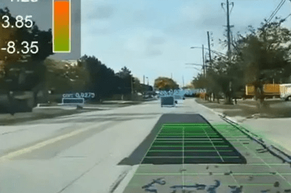
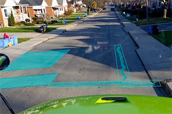
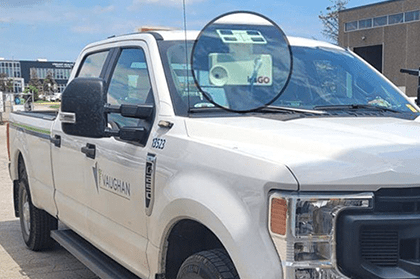
City of Vaughan Case study
Read how City of Vaughan increased the accuracy of their compliance reporting by 25%.
Modernize roads: P3s to accelerate road operations | IRF Global
With our guest, Seth Miller Gabriel, Managing Director of BDO US, watch and learn more about P3s, how it can finance road projects and where to start.
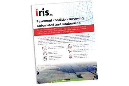
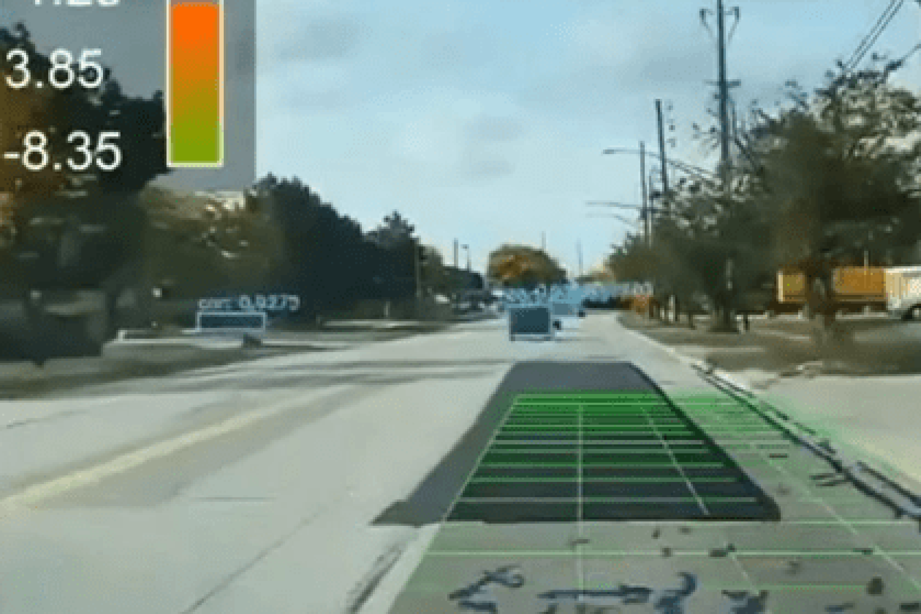
Pavement Condition Survey sheet
A one-pager about how iris' technology improves the accuracy of the Pavement Condition Index (PCI) and operational efficiency.